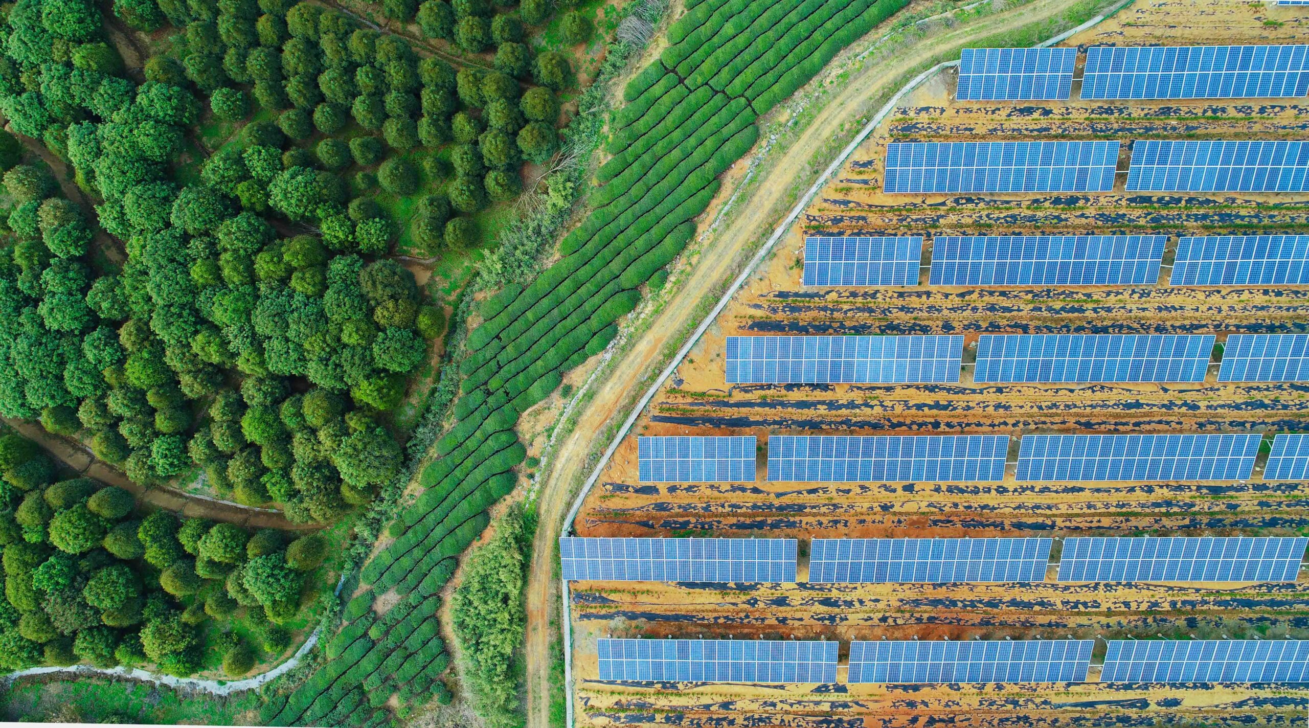
We use powerful geographic information systems (GIS) that record, evaluate and visually process spatial data with particular precision using our proprietary algorithms and analysis methods (including Python, R and deep learning). Our solutions support site and environmental planning, construction documentation and insurance in the area of planning and risk management. The integration of field data and the provision of interactive maps or individual WebGIS applications creates a transparent, data-driven basis for well-founded decisions. We develop customized solutions for your individual requirements and special issues.
Services
Remote Sensing
Modeling and statistical data analysis

