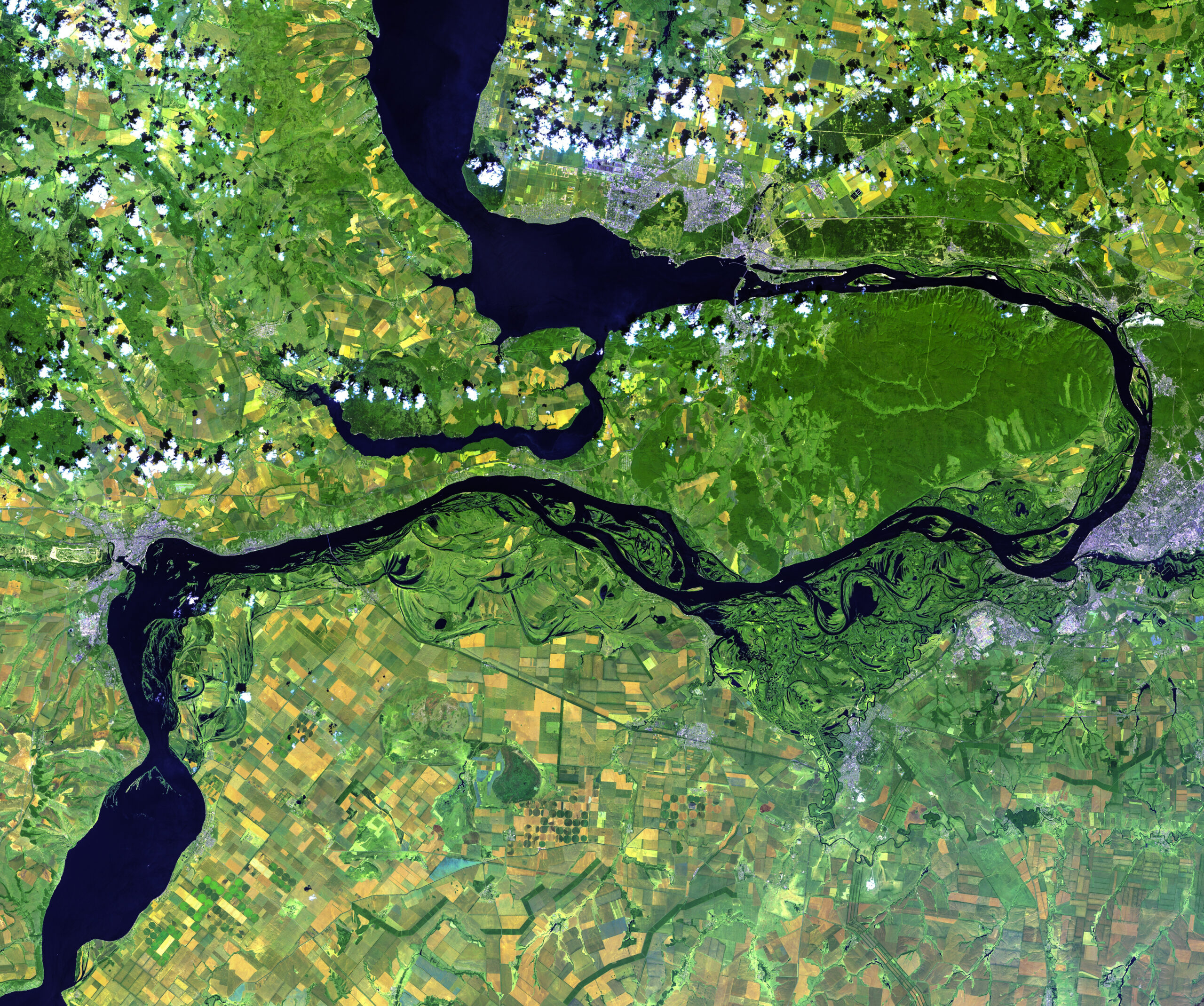
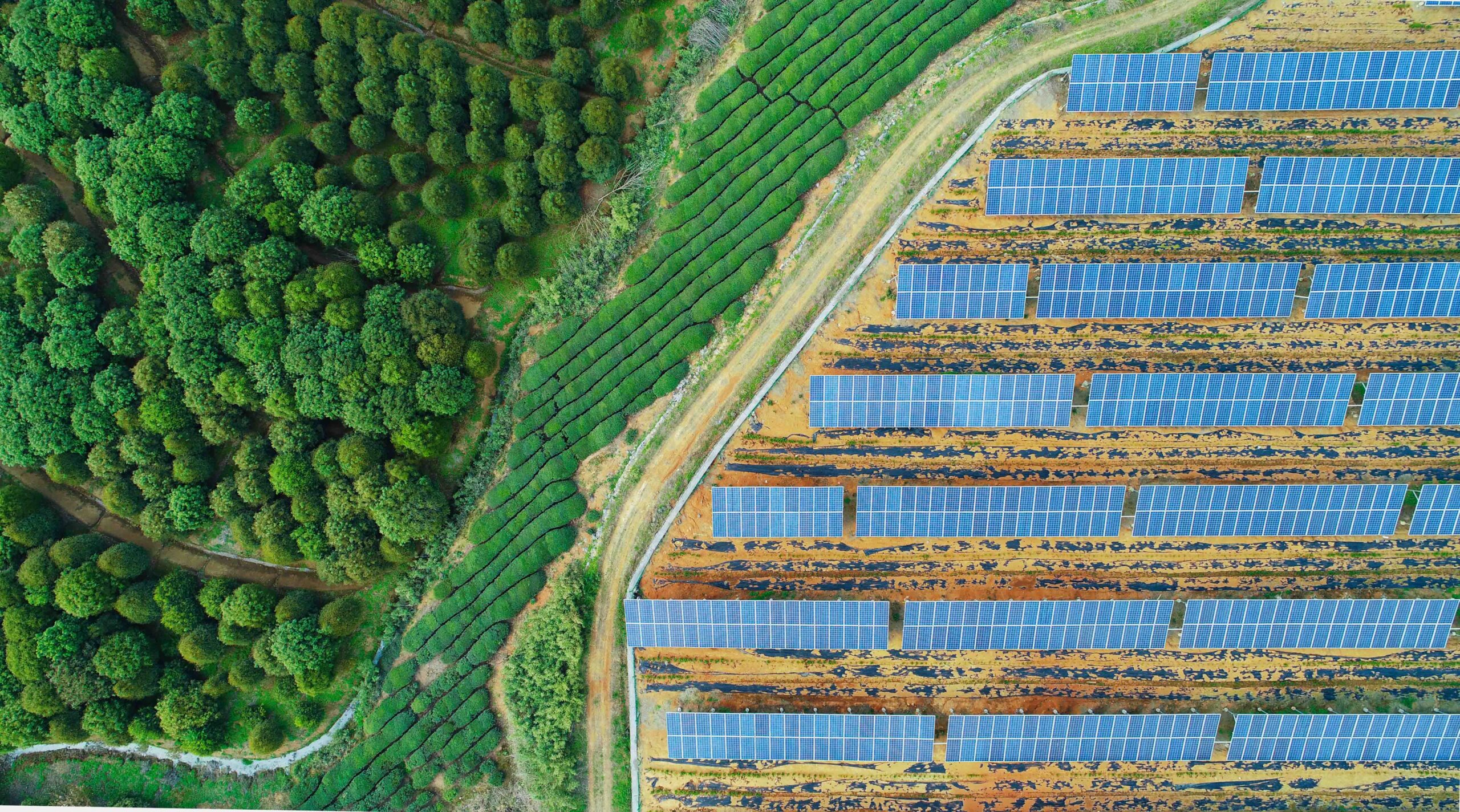
We use advanced geographic information systems (GIS) that accurately record, analyze, and visually process spatial data through our proprietary algorithms and analysis methods (including Python, R, and deep learning). Our solutions support site and environmental planning, construction documentation, and insurance in the fields of planning and risk management. By integrating field data and providing interactive maps or customized WebGIS applications, we create a transparent, data-driven foundation for well-informed decisions. We develop tailored solutions to meet your specific requirements and challenges.

Services

Remote Sensing

  • Satellite data and drone missions: Precise recording of forest and habitat structures, construction progress or interventions in sensitive ecosystems

  • Monitoring & analysis: monitoring of vegetation condition, identification of damaged areas, disturbances and changes and quality of habitats

  • Change detection: Analysis of temporal changes in ecosystems based on satellite and drone data

Modeling and statistical data analysis

  • Climate impacts and hydrology: Empirical modeling of tree species occurrence under different climate scenarios and preliminary studies on complex modeling of carbon and water balance

  • Habitat and species protection: analyses of habitat integrity and forecasts of endangerment or dispersal scenarios for protected species

  • Scientific studies: Integration of remote sensing data and field data in statistical evaluations to derive well-founded recommendations for action

Arrange a callback